The main goal of the GeoNetSee project is to protect people and infrastructure in areas threatened by landslides, terrain deformation, or other geological movements. By utilizing advanced technologies such as artificial intelligence, the Internet of Things, and sensor networks, the project enables early detection of hazardous events and swift response.
“The project’s significance lies in its practical benefits for both residents and regional infrastructure. Experts and public institutions can access collected data in real time via the cloud, allowing for rapid responses to risky situations, prevention of damage, and better planning for the protection of vulnerable areas. The project opens up new opportunities not only in technical fields but also in crisis management, environmental protection, and public safety,” said Zdeněk Slanina from the Faculty of Electrical Engineering and Computer Science.
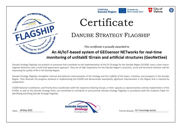
The Flagship 2025 award, presented under the European Union Strategy for the Danube Region, is given to the most impactful initiatives that offer direct benefits to society and foster international cooperation. The project brings together universities, research organizations, companies, and public institutions from several European countries. One of its key outcomes is the creation of a shared digital platform for exchanging measurements, tools, and experience, supporting cross-border collaboration throughout the Danube area.
“The project also involves the development of new networks of geodetic stations in Serbia, Montenegro, and Bosnia and Herzegovina. These will be connected to pan-European infrastructure and help improve monitoring of ground movements across the region. GeoNetSee demonstrates how cutting-edge research can be linked with the practical needs of society,” added Zdeněk Slanina.
Two teams from the faculty are participating in the GeoNetSee project: SignalLab and IoTLab.